Workshop on Geospatial Applications for Plantation Crops
Sep 05, 2024 : ICAR-CPCRI, Kasaragod | Author:web admin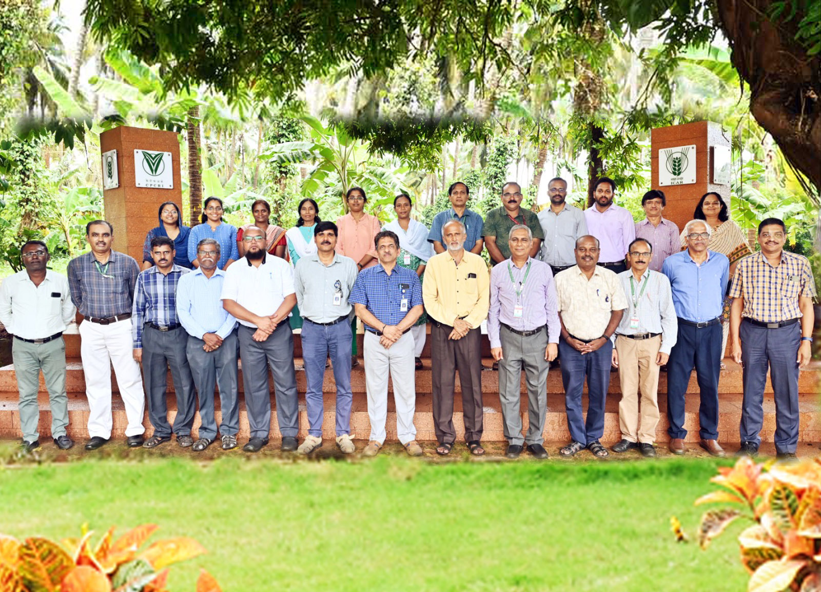
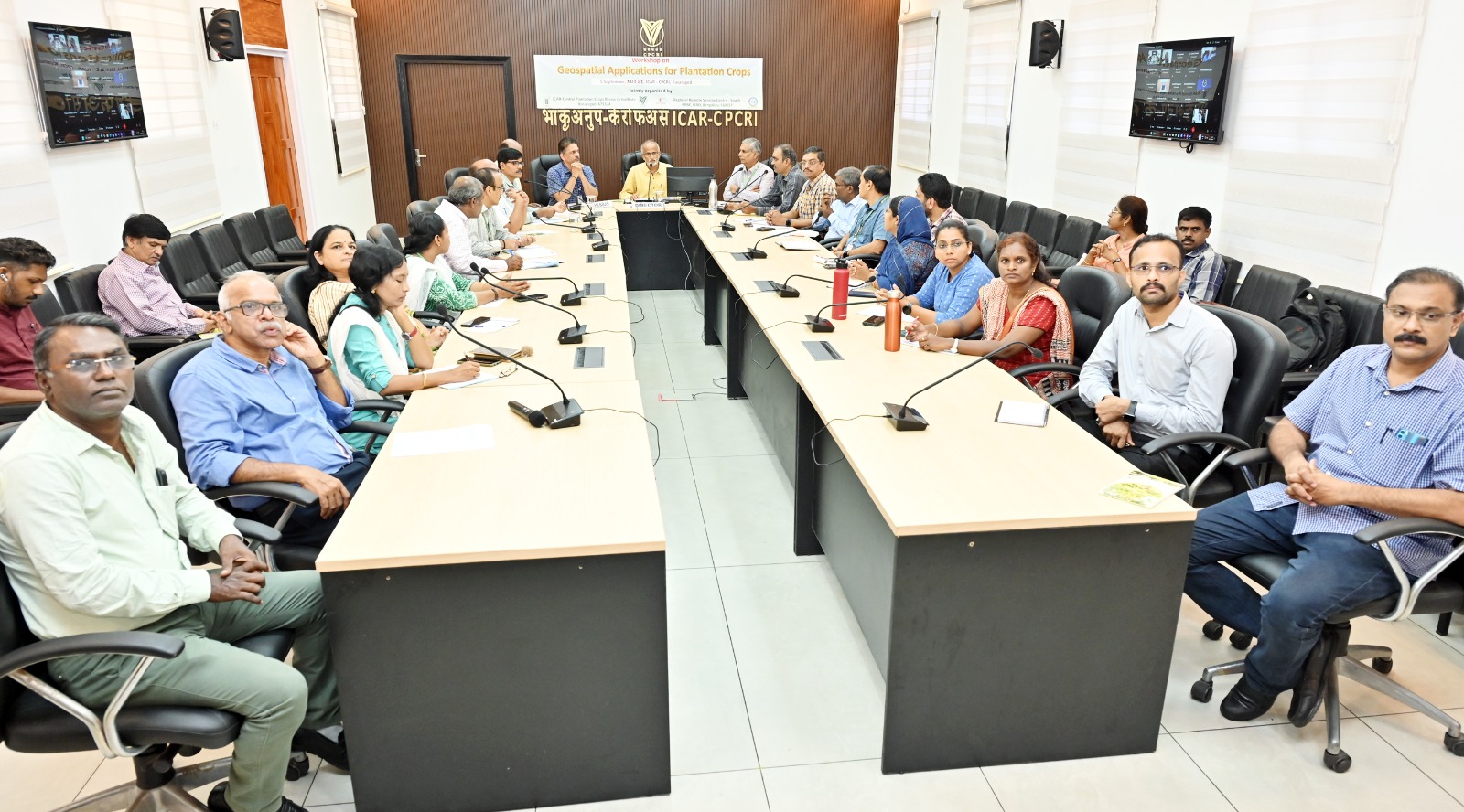
A one-day workshop on "Geospatial Applications for Plantation Crops" was jointly organized by the ICAR-CPCRI, Kasaragod, and the Regional Remote Sensing Centre–South (RRSC-South), NRSC, ISRO, Bengaluru, at ICAR-CPCRI, Kasaragod, on Thursday, 5th September 2024.
In his introductory remarks, Dr. K.B. Hebbar, Director, ICAR-CPCRI, Kasaragod discussed the first remote sensing application in Indian agriculture, which began in 1970 with a NASA-ISRO-IARI collaboration with CPCRI’s Regional Station, Kayamkulam, in Alappuzha District, for mapping the spread of coconut root (wilt) disease. He highlighted key issues related to the use of remote sensing technologies in plantation crops, such as their sporadic distribution, which makes accurate estimation of area, production, and productivity difficult. He also addressed the emerging research area of carbon sequestration in plantation crops, emphasizing the need for accurate estimation of above-ground and below-ground biomass, which could help incentivize cultivators. Director also urged the use of hyperspectral imaging analysis to detect adulteration in plantation products.
Dr. Prakash Chouhan, Director of NRSC-ISRO, delivered the inaugural address, discussing advancements in geospatial technologies, satellite imaging, and drones for agricultural applications. He emphasized the importance of institutional collaboration in applying these technologies to plantation crops.
The CGM of Regional Centres, NRSC-ISRO, New Delhi, presented an overview of the ongoing research focused on monitoring major fruit and plantation crops in India and evinced interest for a national project to create an inventory of plantation crops.
Directors from the Directorate of Cashew Research (DCR), Indian Institute of Oil Palm Research (IIOPR), Directorate of Arecanut and Spices Development (DASD), Directorate of Cashew and Cocoa Development (DCCD), and the Deputy Director (Statistics) of the Coconut Development Board outlined their specific requirements.
The technical sessions of the workshop began with presentations by Dr. Dipankar Mondal (IIT Guwahati), Dr. Murali Gopal (CPCRI, Kasaragod), Dr. GS Mohana (DCR Puttur), and Dr. K Manorama (IIOPR Pedavegi), each highlighting the geospatial work on their respective crops and the need for remote sensing technologies to enhance their research. Experts from RRSC-South Bengaluru followed, with Shri K.R. Hebbar, GM, RRSC-South discussing advancements in mapping plantation crops like coconut and oil palm using CARTOSAT-2E, along with the use of machine learning, artificial intelligence, and LiDAR for biomass and carbon sequestration studies. Dr. Rama Subromoniam focused on soil resource mapping, while Mr. Mohammed Ahamed discussed carbon dynamics, and Mr. Vinod introduced AI tools for geospatial applications.
The workshop was attended by scientists of other ICAR Institutes over online mode. The workshop concluded with a decision to draft a collaborative project between CPCRI and NRSC to map plantation crops like coconut, arecanut, oil palm, cashew, and cocoa.